Avec «Fina et les cartes», les enfants sont invités à s’intéresser à la cartographie collaborative. Les auteurs et les traducteurs espèrent que certains d’entre eux participeront au projet communautaire OpenStreetMap, qui cartographie le monde et met les données à la disposition de tous, un peu comme Wikipédia. Le livre vise à promouvoir l’éducation ouverte et le développement des connaissances collectives et peut être téléchargé gratuitement sous forme de livre électronique (PDF). Il est recommandé pour les enfants de 8 à 12 ans.
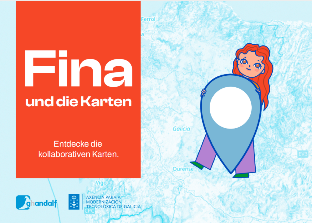
Le livre pour enfants («Fina e os mapas») sur la cartographie et les cartes collaboratives, illustré de couleurs vives, a été écrit à l’origine par Pablo Sanxiao en galicien et en espagnol. Il a déjà été traduit en anglais, français, italien, catalan et portugais (brésilien) et est maintenant également disponible en allemand (suisse). Il peut également être traduit dans d’autres langues, dans l’esprit d’une éducation ouverte, et est donc également disponible en texte brut (Markdown).
En voici un résumé: Fina est une jeune fille qui aime la technologie et rend souvent visite à sa grand-mère à vélo pour profiter de ses histoires passionnantes et de ses délicieux biscuits. Un jour, alors qu’il y a une panne de courant, sa grand-mère lui montre de vieux atlas et lui raconte comment les cartes étaient dessinées à la main autrefois, ce qui éveille l’intérêt de Fina pour la cartographie. Inspirée, Fina découvre le projet OpenStreetMap, commence à enregistrer des lieux avec sa grand-mère et devient elle-même cartographe numérique.
Recommander! Site web et téléchargement: https://finaeosmapas.ghandalf.org/