
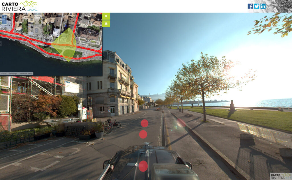
The city of Vevey has published on the Cartoriviera portal the data from a “mobile mapping” survey that took place at the end of last year. The 45 km of Vevey’s road network was covered and images were taken every 3 metres (people and license plates were blurred).
This data is freely available on the Internet https://cartoriviera.ch/rues-vevey, and these images are available for digitisation. Use the following source in the changesets based on this data:
Ville de Vevey – Photos panoramiques des rues 2020 – https://cartoriviera.ch/rues-vevey
Thanks to the city of Vevey for making these photos available for mapping
Pingback: weeklyOSM 566 | weekly – semanario – hebdo – 週刊 – týdeník – Wochennotiz – 주간 – tygodnik