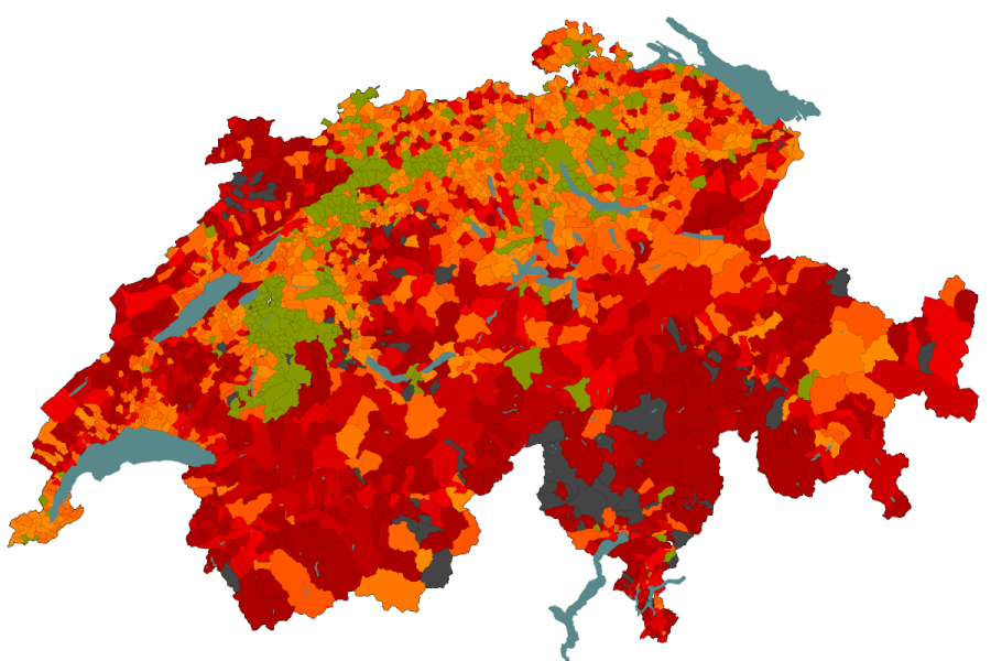
Since the beginning of November 2012 I have been running statistics on how OSM data compares to “official” sources. The results can be seen qa.poole.ch/ch-roads/ a wiki page with some more information is available here.
The official numbers as of December 2012 contain 108’271 road names, 2’684 named nodes, 27’339 areas and a total of 52’211 of objects that were not classified by the muncipality collecting the data. Overall this amounts to 190’000 named features.
The Swiss OSM extract as of January the 10th 2013 contained 115’940 named streets, 5’053 areas and 9’674 nodes tagged with “place” and a name. The comparision just on a number base looks quite good, however actual matches are only 84’162 in total as of today, which is less than 50%. Just considering the streets we find 67’125 matches which is 61%.
The good news is that in the roughly 10 weeks the statistics have been running, we increased the street matches by 3’556 and the total by 5’783. This indicates that we should have all roads covered in latest two years. I actually suspect that the coverage increase will be far larger in the summer months and that we will be able to acheive very good coverage far earlier.
Achieving rapid progress on non-road objects is however going to be difficult. Most of these are not sign posted and publicly available information for verification or a possible import seems to be limited to a proprietary dataset owned by the Swiss Post and the GWR address data. Both can be purchased at considerable expense, the later however has very restrictive usage terms. Essentially Swiss Topo has been granted a monopoly on all non-internal use. It is strange that in the age of the OpenData movement that this would still be possible (the legislation is quite recent), but I suspect that it will be very hard to change.
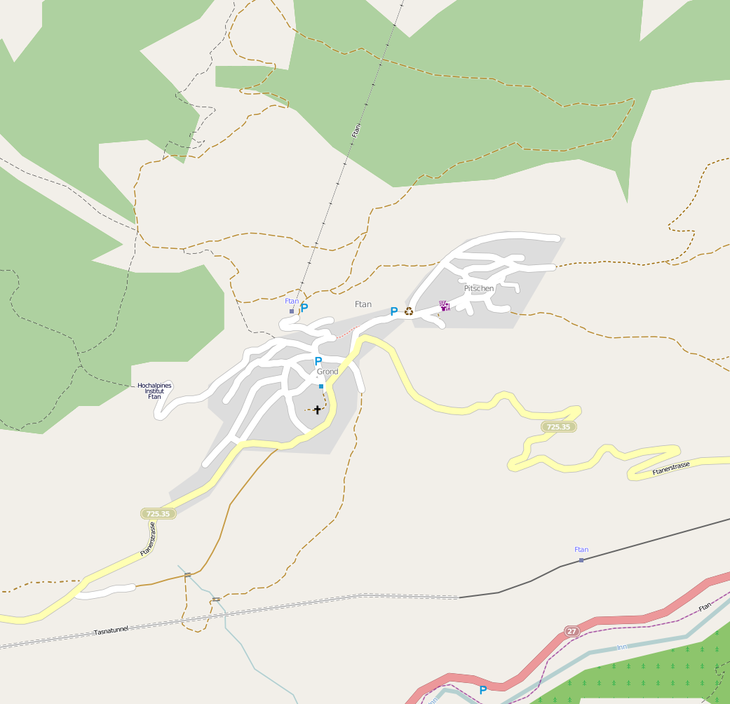
A good example of the difficulties is the small mountain village Ftan where we customarily spend our annual skiing vacation.

Essentially none of the roads have road signs, nor do they actually have names. The full addresses use a “quarter” name in place of a street name. As can be seen from the list produced by my statistics (original file: http://qa.poole.ch/ch-roads/ftan-20130119.html current version: http://qa.poole.ch/ch-roads/GR/3761.html switch to the Mapquest Open map on the OSM site to see what was actually added) nearly all the missing features are not roads, that dosen’t stop Google showing street names (google maps) where there aren’t any.
Surveying such data is going to take time, it implies using local knowledge and other clues available on the ground. It will be interesting to see how much can be gathered in the week I will be on site and how we progress with the multitude of similar settlements over the next months.
