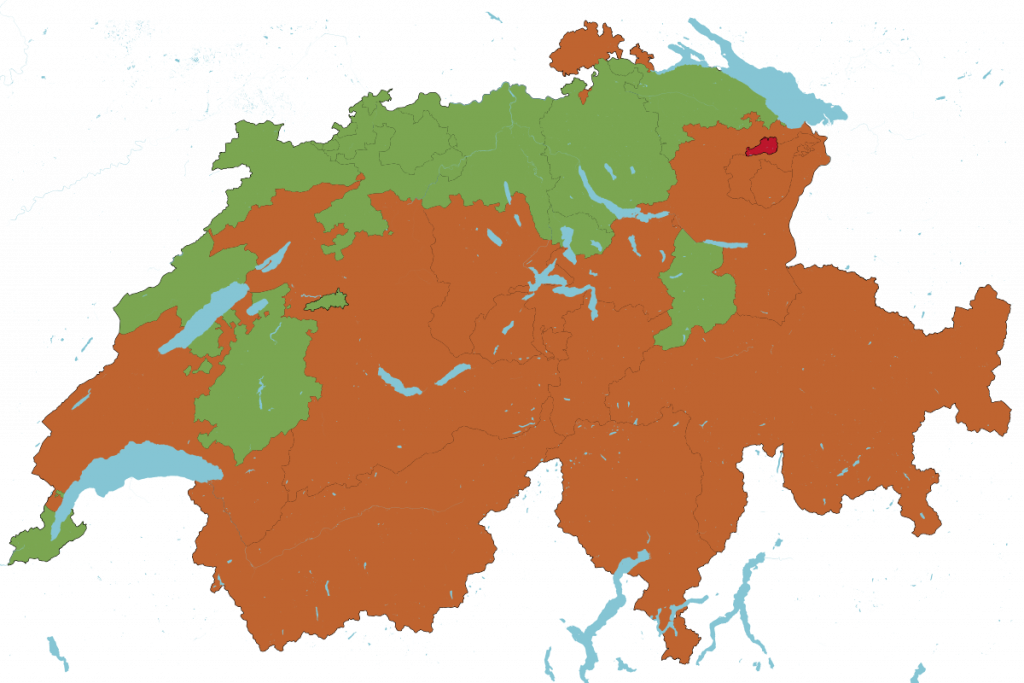
Country-wide imagery is available from SwissTopo and has been legal for use in OpenStreetMap since early 2021. Updating the whole country typically takes 3 to 4 years, so it is a good idea to check when the imagery in your area of interest was recorded
Alternatively some cantons have produced their own imagery that can be more current, for example the imagery for the Canton Zürich is available with a nominal resolution of 10cm per pixel and is updated annually. The available imagery is either proxied by SOSM, for example for use in iD, or hosted directly. Even though we have good contacts with the cantonal GIS offices, we are grateful for pointers to new or updated imagery sources.
Further numerous cities have given us access to imagery and data: Berne, Uster, the City of Zürich. The canton Vaud has been very supportive with imagery and data for numerous smaller areas.

