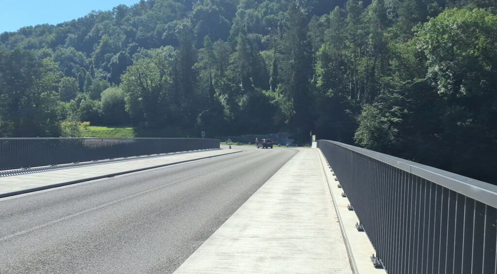
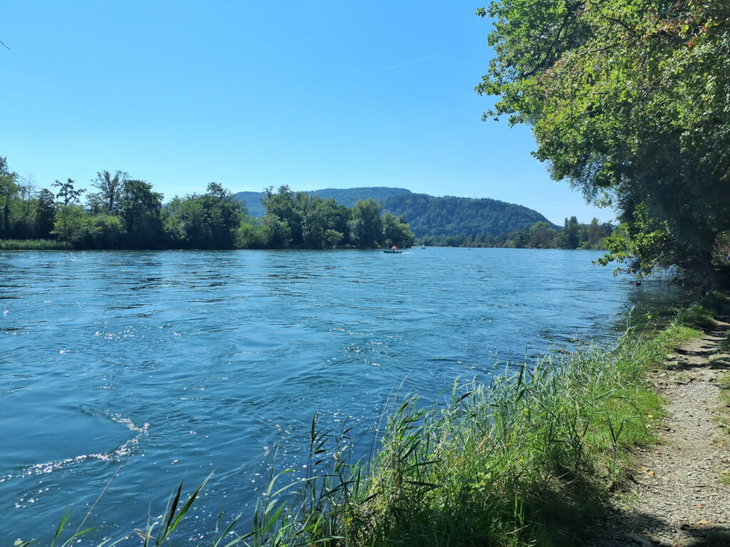
We approached Rheinau from three sides, mapping along the way. Meeting at the pool was a good decision, as it was a quite hot day.
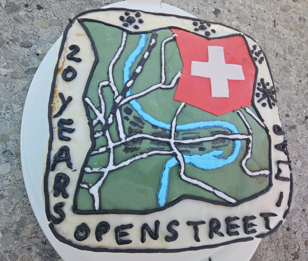
And of course there is no OpenStreetMap birthday without a cake
We approached Rheinau from three sides, mapping along the way. Meeting at the pool was a good decision, as it was a quite hot day.
And of course there is no OpenStreetMap birthday without a cake
The plan for August 11 is becoming more concrete: We will meet at Aquarina 4 in Rheinau. In the Badi for cooling off. I hope for good weather.
My idea is to do some mapping on the way there, like a star hike: Each person or small groups will walk the last few kilometers, mapping as they go.
Arrival between 1:00 PM and 3:00 PM, birthday cake around 4:00 PM.
Here are two suggestions for hikes:
Hike A
Very beautiful!
Rüedlinge → Rheinau Time: 2-3 hours
Route:
Hike B
Also beautiful, with the Rhine Falls.
Rheinfall → Rheinau Time: 2 hours
Route:
Many thanks to Loremo for helping with the planning and the hike suggestions!
Please share your route on the wiki or forum so not everyone maps the same area.
The 2023 AGM will take place on Friday, May the 5th online at 20:00
The newest episode of the geomob podcast features a quite active Swiss mapper, Simon, who happens to be the the current president of the Swiss OpenStreetMap association. Tune in to hear about his motivation for the project, and his perspective on the OpenStreetMap community and its future.
We’ve spoken to Christian Nüssli, the creator of defikarte.ch. You can read the German version here: Defikarte: Eine Karte fürs Leben.
The default style on osm.ch now includes contour lines and is updated to the latest version of the openstreetmap-carto style sheet.
Elevation data created from a mash-up of SRTM and ASTER GDEM data. ASTER GDEM is a product of METI and NASA. Post processing was kindly provided by Yves Cainaud from opensnowmap.org.
overpass-turbo is an easy to use data mining tool for OpenStreetMap. To reflect the continued improvement of the tool, we have updated this software on the SOSM servers to the latest version. Thanks to Martin Raifer who is the developer of this tool.
routing.osm.ch also got an improvement: Now the link to the debug map works correctly and shows the routing speeds and turn weights used by the currently selected profile.
To access the debug map, click on this icon in the lower left corner:
We had a server outage from Saturday evening June 24th until Monday afternoon June 26th. The main reason was that three disks had failed in the production server and had to be replaced. Fortunately, we had enough spare disks. Sorry for any inconveniences this outage has caused. Everything should be back to normal now.
Update: the old interface is turned off. The new one is available at routing.osm.ch
There is a new routing user interface for osrm which I am testing at routingnew.osm.ch. I would welcome feedback here as a comment or on the Swiss mailing list.
There was no easy way forward. A little background: Last year, we bough some shiny new SSDs to speed up our servers. I decided to install the new Ubuntu 16.04 onto the new disks, the new long term support version. In the mean time, most services are moved to the server with the new Ubuntu and the SSDs, except routing. I couldn’t get our old version of OSRM to run on Ubuntu 16.04, so I was forced to upgrade to the newest version. But a lot was changed in OSRM in the mean time: the API for routing requests as well as the syntax for the routing profiles. That is the main reason why we still run such an old version. The old user interface we used is no longer maintained, therefore incompatible with the current API. But there is a brand new one, which does not support multiple routing profiles. So starting at the hack weekend in Karlsruhe, I hacked the profile selector into the new interface.
The plan is now to switch to the new OSRM and user interface on Sunday, March 19th.