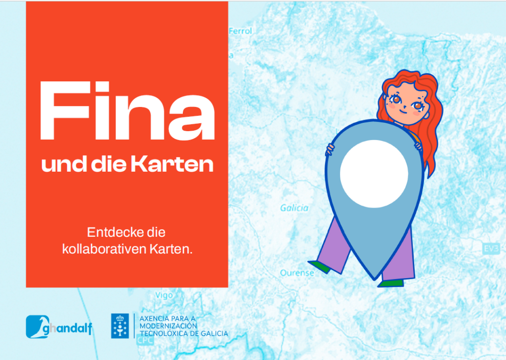
“Fina and the Maps” is a children’s book that aims to get children excited about collaborative cartography. The authors and translators hope that some of them will take part in the community project OpenStreetMap, which maps the world and makes the data available to everyone – similar to Wikipedia. The book is intended to promote open education and the development of collective knowledge and can be downloaded for free as an eBook (PDF). The recommended age range is 8 to 12 years.

The colorfully illustrated children’s book (“Fina e os mapas”) about cartography and collaborative maps was originally written by Pablo Sanxiao in Galician and Spanish. It has already been translated into English, French, Italian, Catalan and (Brazilian) Portuguese and is now also available in (Swiss) High German. It can be translated into other languages in the spirit of open education and is therefore also available in raw text (Markdown).
Here is a summary: Fina is a girl who loves technology and often visits her grandmother by bike to enjoy her exciting stories and delicious cookies. When the power goes out one day, her grandmother shows Fina old atlases and tells her how maps used to be drawn by hand, sparking Fina’s interest in cartography. Inspired, Fina discovers the OpenStreetMap project, starts entering places digitally with her grandmother and becomes a digital cartographer herself.
Share this! Website and download: https://finaeosmapas.ghandalf.org/


