This FAQ is continuously being improved and expanded and may change at any time.
Q: Why does SOSM oppose the MODI bill, isn’t improving the efficiency of our mobility infrastructure a good thing?
A: We have always supported making more mobility data available and suggested that it is one of the missing pieces to creating viable competing services to google and Apple. We are simply opposed to regulation that couples access to that data to use of the navigation data of a single market player.
Q: What is Verkehrsnetz Schweiz and why is it a problem?
A: Update March 2026
For transparency sake the full previous version of this FAQ item can be found below.
swisstopo currently positions Verkehrsnetz Schweiz as a set of tools that allows building more complete datasets from their routable base transport data swissTNE Base in an automated fashion and allowing third parties to incorporate their ids in a so generated dataset.
This is technically an interesting approach, particularly compared to the monolithic design used in Austria and that is now emphasised in swisstopos marketing. However this does not really address our concerns that use of MODI is legally closely tied to the use of swissTNE Base as the reference dataset and the proposed law does not mandate any other way of access.
It should be clear that while swisstopo has not announced that it will publish an enriched version of swissTNE including the additional data (POIs, buildings etc) required for a full navigation product, it is building the tools to do exactly that. In the swisstopo app navigation support is already available and swisstopo is clearly already competing in this space.
The situation is similar to if google claimed that google maps is just the internal tools they use to build the google maps service, in a certain fashion true, but at the same time very misleading.
Previous version:
Verkehrsnetz Schweiz is swisstopos new product entry in to the navigation data market.
Verkehrsnetz CH is a completely conventional set of geodata suitable for navigation and similar purposes just like the products Tomtom, Here, apple, google, OpenStreetMap and others have been creating since decades. As any of these players will attest to, aggregating data from multiple sources, applying quality checks, arranging for updates and so on is the name of the game, and not something that is unique to swisstopos product.
The navigation data market is healthy with many competitors to choose from even though most consumers use products from google, a further player with a “me too” product is likely not a concern for any of the other players or us.
Matter of fact we are a bit tickled by the fact that OSM it important enough that one of the key competitive features of Verkehrsnetz CH is that it will be available in an OSM compatible format so that swisstopo it can easily use it to push out OpenStreetMap of existing applications.
Realistically the market for such a product in isolation is small, however legally and technically coupling the access to the mobility data infrastructure to use of Verkehrsnetz Schweiz changes this equation and will tilt the playing field substantially to the advantage of swisstopo.
Q: Do you have an example why the coupling of MODI access to Verkehrsnetz Schweiz would be anti-competitive?
A: Update March 2026
swisstopo has removed mentions of producing an OSM compatible dataset as a core requirement of Verkehrsnetz CH.
Consider the following scenario:
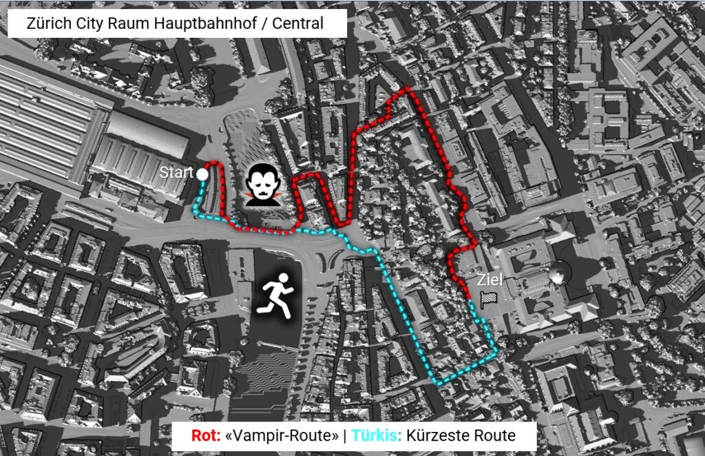
You are running a, hypothetical, e-bike rental service, and the bikes have OSM-based navigation devices. You want to use the federal government’s mobility data (MODI) to improve navigation, e.g., to avoid closures or traffic jams. As required, you must use the Verkehrsnetz CH to retrieve the relevant data. In other words, you either have to make additional efforts to continue using original OSM in your navigation systems, or you can simply get data from swisstopo in an OSM-compatible format and frictionlessly access MODI.
And if you want to (automatically) make the usage status of your bike docks available to everyone, since multimodal navigation systems can then, for example, direct users to a dock that still has bikes, you will of course also have to use Verkehrsnetz CH data to upload the data to MODI, even if you otherwise use OSM to manage your locations.
If the access to the MODI data were designed to be both technically and legally provider-neutral, no one would be favoured. As planned, regardless of if we provide workarounds for access in the future or not, there will always be additional friction and uncertainty as to whether it will work correctly and users will gyrate to using Verkehrsnetz CH because it is “guaranteed” to work.
Q: This is Switzerland, shouldn’t have any disagreements on the bill been worked out before it got to this stage?
A: Yes you would have expected as one of the few organisations that are directly impacted by the regulation we would have been addressed early. However not only were we not invited to the consultation phase and had to, after we had found out, submit our statement within a day, our concerns have not been taken seriously by any of the bodies we have contacted.
It has to be said that we are arguing a fine techno-legal point here and the importance may be lost on many. Not to mention that we are small voice compared to the many swisstopo receptions, handouts to consultants and not to forget the cantons expecting free money from the federation.
Q: Won’t this rein google in and provide more opportunity for small businesses to provide services?
A: swisstopo has naturally played the bad big tech card in promoting Verkehrsnetz Schweiz a quote from their “Faktenblatt Verkehrsnetz CH” promotional material:
Kartendienste wie OpenStreetMap oder Google verfügen über umfassende Verkehrsdaten. Diese sind jedoch nicht in jeder Hinsicht frei zugänglich oder sind mit kommerziellen Interessen verbunden, z.B. werden beworbene Informationen bevorzugt angezeigt. Zudem ist nicht immer transparent, woher die Daten kommen.
The reference to OpenStreetMap was removed after intervention by us, it however nicely illustrates the mind frame of the authors.
But naturally companies like google and apple are unlikely to be affected at all as they do not provide direct navigation data access and can, if they even want to use the MODI data over what they already have access to, hide this behind their APIs and likely will save money in the process.
A look over the border to Austria where more than a decade ago a similar project was passed in to law, doesn’t show any less use of google, it does show a distinct lack of products that use OpenStreetMap or other sources and instead a de-facto monopoly for certain sectors that is based around the GIP (Verkehrsnetz CH equivalent) and the VAO (semi-private MODI equivalent). It should be noted that the VAO services are not free, which is the likely longer term MODI scenario too.
Q: Where can I find the text of the bill and related material?
A: Documentation of the MODIG bill from the federal council
Q: Isn’t this all open data and therefore not a problem?
A: Most parts of Verkehrsnetz CH and MODI are expected to be available as open data. However besides that not guaranteeing that the terms will be compatible with OSMs distribution licence, there are carve outs that might actually require update commitments and similar that would not be possible to fulfil in an OSM context, see fossgis.de Stellungnahme zum Mobilitätsdatengesetz for a similar issue with German regulation.
More importantly, while the promise of open data is that it will fuel innovation and create more economic activity, that would require the publishing entity to not itself corner the market with its own products. There is no legal requirement in Switzerland for this, and as swisstopo shows, the main effect of allowing it to publish data on open terms now is that it is under substantially less pressure to justify its offerings on economic terms. “it’s open data” has literally become the universal excuse for all its activities.
As mentioned above there is some hope that we will be able to use the published data to shoehorn MODI compatibility onto an OSM data distribution if the legislator decides not to require a vendor neutral access. But by its very nature this will be a 2nd class, high friction solution.
It really shouldn’t matter if you are building your app or service on Tomtom, Here, google, apple, OSM or swisstopo data and services, the technology is there to make MODI vendor agnostic, what is missing is the political will to require it.
Q: What are SOSMs concrete demands?
A: SOSM demands that the MODI components Verkehrsnetz CH and NADIM are decoupled and that the bill requires geodata-provider agnostic access to NADIM.
We further suggest that the establishment of Verkehrsnetz CH is moved to a separate bill to allow an independent evaluation and decision on the merits of the undertaking.
Q: Doesn’t the bill require that the MODI is independent of market players?
A: Art. 6 a. of the MODI bill stipulates “Die MODI ist von den Marktakteuren unabhängig” (MODI is independent of market participants). However it then completely ignores that by any definition, including its own, swisstopo is such a market participant, and that Verkehrsnetz CH is a product that swisstopo is actively promoting on the market.
Not only has swisstopo positioned itself as a competitor to other mapping service providers in its promotional material for Verkehrsnetz CH, it provides map services to web developers in competition to other players, and even offers products to end users in competition to other market participants. See for example https://www.swisstopo.admin.ch/de/swisstopo-app